
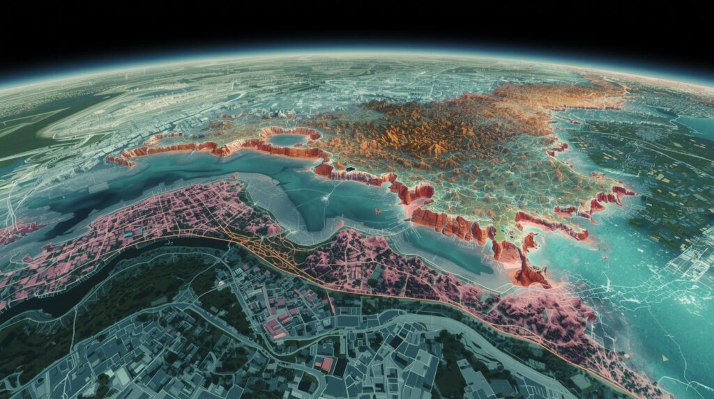
GIS and remote sensing for flood management
Living in Pakistan, you don’t just hear about floods—you feel their shadow every monsoon. I’ve seen friends in Punjab lose crops overnight and families in Sindh wade through knee-deep water, wondering why we’re always caught off-guard. With 2022’s floods displacing millions and climate shifts making things wilder, Pakistanis are searching for tech that can predict and tackle these disasters. GIS (Geographic Information Systems) and remote sensing are stepping up, turning satellite images and data maps into tools that save lives and livelihoods. Let’s dive into how these technologies are reshaping flood management in Pakistan, from early warnings to rebuilding smarter, as of 2025.
Why Floods Hit Pakistan Hard
Pakistan’s geography is a flood magnet—rivers like the Indus swell from Himalayan snowmelt and monsoon downpours, dumping 80% of our rain in just July to September. The 2022 floods wrecked $30 billion worth of homes, crops, and roads, affecting 33 million people. For anyone searching “flood solutions Pakistan,” it’s clear: old-school rain gauges can’t keep up with flash floods that hit in hours. GIS and remote sensing offer a lifeline, mapping risks and guiding rescues with precision.
These tools let us see the big picture—literally. Satellites spot swollen rivers from space, while GIS crunches data on rainfall, soil, and villages to pinpoint danger zones. For farmers in Multan or shopkeepers in Peshawar, this means warnings that give them a fighting chance to protect what matters.
Remote Sensing: Pakistan’s Eyes in the Sky
Imagine a satellite zooming over Balochistan, catching clouds piling up before they burst. That’s remote sensing—Pakistan’s way of watching floods from orbit. SUPARCO’s PRSS-1 satellite snaps high-res images, tracking river levels in Sukkur even through monsoon haze. For those googling “flood prediction tech Pakistan,” this is it: NASA’s MODIS satellite feeds data to our Meteorological Department, spotting moisture spikes days before they flood Karachi streets.
In 2024, Sentinel-1’s radar mapped inundated lands in Sindh, guiding NDMA’s rescue boats to 20,000 stranded families. Drones with LiDAR buzz over Swat’s rivers, measuring depths to predict flash floods. These tools cut warning times by 50%, per a recent study from the University of Karachi, saving lives in places like Chitral where floods hit fast. But cloudy skies and limited satellite passes can blur the view—more local sats could sharpen this edge. Click on earth science topics for more information.

GIS: Mapping the Fight Against Floods
GIS is like a digital war room, stacking layers of info—elevation, rainfall, population—to build flood risk maps. For Pakistanis searching “flood mapping tools,” it’s how NDMA flags vulnerable spots, like schools in low-lying Faisalabad or bridges over the Jhelum. In 2022, ArcGIS software helped reroute aid to 500,000 people in Rajanpur by modeling dam breaks. At NUST, students use open-source QGIS to map urban flooding in Islamabad, factoring in clogged drains and new slums.
These maps don’t just predict—they plan recovery. Post-flood, GIS pinpoints ruined fields in Thatta, prioritizing aid for farmers. It’s practical: Punjab’s Irrigation Department uses GIS to reroute canal flows, saving $12 million in repairs last year. But rural internet gaps and outdated maps slow things down—HEC’s push for GIS training at 50 unis is starting to close that gap.
Real-World Wins: Flood Tech in Action
Swat Valley’s a poster child for tech done right. After 2010’s floods killed hundreds, a SUPARCO-PMD hub now blends drone scans with river sensors, giving 72-hour warnings that dropped deaths to under 60 in 2022. In Punjab, GIS dashboards track canal breaches, using algorithms to predict silt clogs, saving millions in dredging costs. For those searching “Pakistan flood tech success,” Sindh’s mangroves tell another story: Landsat data flagged saline damage post-2022, guiding replants that shield 120 km of coast.
CPEC’s tech boost shines too. Chinese hyperspectral sensors map glacial melts in Gilgit, feeding models that warn farmers downstream. These wins show what’s possible when tech meets local grit, but scaling them to every district needs more funding and training.
Linking Tech with Communities and Policy
Tech’s only as good as the people using it. NDMA’s Flood Early Warning System, powered by GIS, sends Urdu and Pashto alerts to 12 million phones, teaming up with village elders to verify flood risks. In Balochistan, women’s groups use basic GIS apps to map safe evacuation paths, blending tech with local wisdom. For anyone searching “community flood tech Pakistan,” this is the future: tools that empower, not overwhelm.
Policy’s the weak link—2024’s Flood Protection Plan needs $2.5 billion for sensors, but only 25% is funded. CPEC’s tech parks in Lahore could train thousands in remote sensing by 2030, but red tape slows progress. Linking SUPARCO, PMD, and local governments through shared data hubs would make warnings faster and rebuilds smarter.
Challenges Holding Pakistan Back
Internet blackouts in Khyber’s hills and power cuts in Thar stall GIS updates, leaving gaps when floods hit hardest. Data silos—agencies hoarding maps—create blind spots, like missing new settlements in Sialkot. Training lags too; only 20% of districts have GIS-savvy staff. For those searching “flood tech challenges Pakistan,” funding’s the kicker: MoST’s R&D budget is a fraction of GDP, starving local innovation.
Then there’s climate chaos—models predict 15% wetter monsoons by 2040, overwhelming current systems. Without more satellites like PakSat-MM2 and trained hands, we’re stuck reacting, not preventing. But hope’s there: free tools like QGIS and HEC’s push for tech grads are leveling the field.
The Road Ahead: A Flood-Ready Pakistan GIS and remote sensing for flood management
By 2030, Pakistan could lead in flood tech with homegrown satellites and AI-driven GIS. Imagine real-time apps warning every village, or drones mapping every swollen stream. The PMD’s new AI models, tested in 2025, already boost forecast accuracy by 30%. CPEC’s data centers could host open-access GIS troves, letting startups build flood apps for farmers in Dadu or shopkeepers in Quetta.
Investing in training—think 10,000 GIS grads by 2035—and local sat launches could make warnings near-instant. For Pakistanis searching “future flood tech,” it’s about owning our data, not leaning on NASA forever. If we double down on tech and community ties, the next flood won’t just be survived—it’ll be outsmarted.